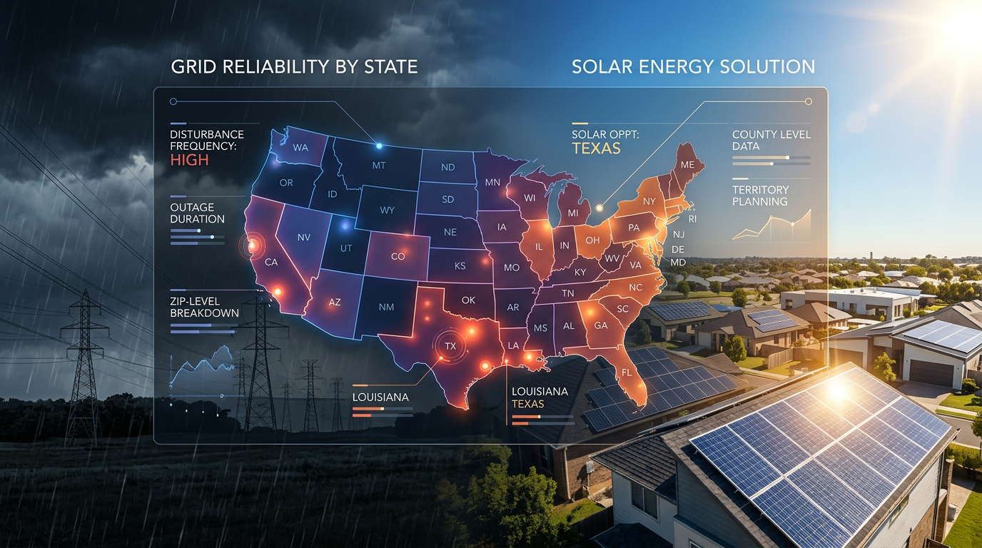
Every utility in America reports grid disturbances: to the Department of Energy, on its own public outage map, or both. Almost nobody joins that reporting into one picture. We do, every day, across all 50 states. This page ranks every state by what its grid actually did in May 2026 (May 1–31): outage events, customers hit, how much of the state was affected, how long the median outage lasted, and how often the utility explained itself. If you run a solar, battery, or generator sales team, read the table as a territory map: outage density and restoration times tell you where backup power sells.
The national totals for the month: 516,481 utility-reported outage events across 2,443 counties in all 50 states plus DC, affecting a cumulative 20.0 million customers (GridProfile analysis of DOE ODIN plus 160+ direct utility and cooperative feeds).
One month is the honest window for this table. Our feed coverage has grown month over month, so a "last 12 months" ranking would partly measure when we added each utility, not how each grid performed. A single, fully-covered calendar month compares states on equal footing. The monthly recaps (May, April, and March) re-run this picture every month; this page explains how to read it.
Which states had the most power outages?
By raw event count, May 2026 looked like this at the top:
- Texas: 93,084 events, 3.0M customers hit. Nearly one in five U.S. outage events last month happened in Texas. Heat, storms, and a grid that spans 254 counties, 225 of which logged at least one event. Harris County alone (Houston) recorded more events than 40 entire states. ERCOT's isolation from the national grid gets the headlines, but the day-to-day story is volume: the sheer number of feeders, poles, and transformers serving 26 million customers.
- California: 28,619 events, 3.0M customers hit. Fewer events than Texas but the same customer impact: California's events are bigger. The state's median restoration of 3h 23m also runs an hour and a quarter longer than Texas. We broke down the county-by-county California data separately.
- Pennsylvania: 27,389 events. The quiet member of the top three. Every one of its 67 counties logged events, and at 409 events per county it ranks above Texas on density. Its saving grace is speed: a 1h 27m median restoration, among the fastest in the country.
- Ohio: 22,436 events. Same pattern as Pennsylvania: full-state coverage (88 of 88 counties), high volume, middling 2h 15m restorations.
- New York: 22,235 events, 96% unexplained. High volume and one of the worst cause-reporting rates among large states. Utilities identified a cause for fewer than one event in twenty.
Florida, the state everyone guesses first, came in tenth, with 16,298 events. May is before hurricane season; its position in this table moves more across the year than any other large state. Its 4h 43m median restoration was already the longest in the top ten.
Volume or density: which number should you trust?
Earlier versions of this page led with raw volume, and our monthly recaps lead with density (events per county). Both are correct; they answer different questions. Here's the reconciliation.
Raw volume answers "where is the most total activity?" Texas wins every month, and will keep winning, because it has 254 counties and the largest customer base in the country. If you're a national lead-gen operation allocating budget by state, volume is your number.
Density answers "how saturated is a territory I could actually work?" An installer doesn't sell to a state; they sell to two or three counties. Divide May's events by each state's county count and the ranking inverts:
| Density rank | State | Events per county (May 2026) |
|---|---|---|
| 1 | Massachusetts | 735 |
| 2 | New Jersey | 725 |
| 3 | District of Columbia | 619 |
| 4 | Connecticut | 509 |
| 5 | California | 493 |
| 6 | Maryland | 446 |
| 7 | Pennsylvania | 409 |
| 8 | Texas | 366 |
Massachusetts and New Jersey roughly double Texas per county. Every one of New Jersey's 21 counties and Massachusetts's 14 counties logged outages in May. There is no quiet corner. For a two-county installer in Bergen or Middlesex, the grid hands you fresh canvassing material weekly, which is the core decision input in picking a sales territory.
The same logic continues all the way down to the door: density at the ZIP level beats density at the county level, which is why ZIP-level outage data beats county-level, and why the street beats them both.
The full 50-state table: May 2026
Window: May 1–31, 2026. Source: GridProfile analysis of DOE ODIN plus direct collection from 70+ utility and 90+ cooperative outage feeds. Customers hit sums the utility-reported customer count per event over the month. Unexplained is the share of events for which the reporting utility published no cause. Median duration uses only events with verified start and end timestamps; see the notes below the table.
| # | State | Events | Customers hit | Counties hit | Events / county | Unexplained | Median duration |
|---|---|---|---|---|---|---|---|
| 1 | Texas | 93,084 | 3,000,844 | 225/254 | 366 | 86% | 2h 06m |
| 2 | California | 28,619 | 3,030,073 | 57/58 | 493 | 68% | 3h 23m |
| 3 | Pennsylvania | 27,389 | 1,407,025 | 67/67 | 409 | 66% | 1h 27m |
| 4 | Ohio | 22,436 | 850,631 | 88/88 | 255 | 84% | 2h 15m |
| 5 | New York | 22,235 | 1,006,094 | 61/62 | 359 | 96% | 2h 44m |
| 6 | Georgia | 20,592 | 627,590 | 153/159 | 130 | 99% | 1h 38m |
| 7 | Alabama | 19,641 | 434,256 | 59/67 | 293 | 100% | 1h 17m |
| 8 | Louisiana | 18,930 | 538,276 | 61/64 | 296 | 98% | 1h 53m |
| 9 | North Carolina | 18,681 | 460,961 | 100/100 | 187 | 66% | 3h 22m |
| 10 | Florida | 16,298 | 542,919 | 45/67 | 243 | 82% | 4h 43m |
| 11 | New Jersey | 15,226 | 742,583 | 21/21 | 725 | 83% | 2h 24m |
| 12 | Missouri | 14,771 | 432,154 | 91/115 | 128 | 88% | 2h 42m |
| 13 | Virginia | 14,730 | 601,565 | 125/133 | 111 | 80% | 1h 58m |
| 14 | Michigan | 14,526 | 527,564 | 71/83 | 175 | 38% | 2h 09m |
| 15 | Kansas | 13,809 | 438,452 | 93/105 | 132 | 95% | 5h 40m |
| 16 | Illinois | 13,692 | 352,006 | 99/102 | 134 | 81% | 1h 52m |
| 17 | Maryland | 10,705 | 328,718 | 15/24 | 446 | 82% | 2h 54m |
| 18 | Massachusetts | 10,294 | 646,724 | 14/14 | 735 | 98% | 2h 04m |
| 19 | Arkansas | 9,930 | 179,851 | 73/75 | 132 | 97% | 1h 38m |
| 20 | West Virginia | 9,711 | 470,825 | 55/55 | 177 | 79% | 2h 08m |
| 21 | Oklahoma | 9,594 | 195,490 | 72/77 | 125 | 87% | 1h 41m |
| 22 | Mississippi | 9,346 | 199,407 | 63/82 | 114 | 100% | 2h 02m |
| 23 | Washington | 9,239 | 536,657 | 33/39 | 237 | 51% | 4h 24m |
| 24 | Tennessee | 8,092 | 226,402 | 66/95 | 85 | 92% | 1h 25m |
| 25 | Oregon | 7,916 | 248,859 | 29/36 | 220 | 82% | 8h 01m |
| 26 | Utah | 7,184 | 243,841 | 26/29 | 248 | 82% | 5h 36m |
| 27 | Iowa | 6,119 | 185,721 | 70/99 | 62 | 85% | 5h 52m |
| 28 | South Carolina | 6,083 | 173,593 | 33/46 | 132 | 74% | 2h 59m |
| 29 | Indiana | 5,810 | 162,550 | 81/92 | 63 | 77% | 2h 53m |
| 30 | Connecticut | 4,582 | 204,322 | 10/9* | 509 | 82% | 2h 15m |
| 31 | Kentucky | 4,569 | 99,020 | 53/120 | 38 | 87% | 1h 47m |
| 32 | Minnesota | 3,227 | 91,172 | 68/87 | 37 | 95% | 2h 43m |
| 33 | New Hampshire | 3,169 | 143,582 | 10/10 | 317 | 77% | 1h 46m |
| 34 | Idaho | 2,546 | 89,314 | 23/44 | 58 | 78% | 2h 37m |
| 35 | New Mexico | 2,503 | 106,238 | 26/33 | 76 | 86% | 1h 28m |
| 36 | Colorado | 1,949 | 73,237 | 39/64 | 30 | 94% | 1h 33m |
| 37 | Wyoming | 1,871 | 53,650 | 20/23 | 81 | 87% | 3h 26m |
| 38 | Maine | 1,706 | 135,164 | 16/16 | 107 | 90% | n/a |
| 39 | Nevada | 1,410 | 71,641 | 15/17 | 83 | 80% | 8h 55m |
| 40 | Wisconsin | 1,235 | 10,460 | 41/72 | 17 | 97% | 2h 01m |
| 41 | Arizona | 744 | 91,663 | 12/15 | 50 | 86% | 2h 17m |
| 42 | Nebraska | 734 | 9,015 | 17/93 | 8 | 100% | 2h 36m |
| 43 | District of Columbia | 619 | 25,010 | 1/1 | 619 | 88% | n/a |
| 44 | Vermont | 322 | 11,032 | 11/14 | 23 | 98% | 1h 34m |
| 45 | South Dakota | 304 | 4,468 | 18/66 | 5 | 89% | 2h 35m |
| 46 | Delaware | 136 | 7,052 | 3/3 | 45 | 100% | n/a |
| 47 | Montana | 61 | 4,153 | 8/56 | 1 | 100% | n/a |
| 48 | Hawaii | 55 | 20,991 | 2/5 | 11 | 100% | 4h 31m |
| 49 | North Dakota | 47 | 1,540 | 3/53 | 1 | 94% | 1h 51m |
| 50 | Rhode Island | 10 | 15 | 1/5 | 2 | 100% | 1h 43m |
* Connecticut replaced its eight counties with nine planning regions in 2022; event records still carry legacy county codes, so the hit/total ratio reads oddly. Treat its density figure as approximate.
How to read the table: three honest caveats
1. The bottom of the table is partly a coverage artifact. Rhode Island did not have ten times fewer outages than Vermont in any meaningful sense. Our direct-feed coverage in the smallest states is thinner, and some utilities there report only through the federal county-level feed. States below roughly #40 are under-counted. Everything above the top-30 line is well-covered and comparable. We'd rather show you the seam in the data than hide it.
2. "Unexplained" measures the utility, not the grid. Alabama, Mississippi, Nebraska, Delaware, and Montana show 100% unexplained because their dominant utilities publish no cause on any public feed: Alabama Power and Mississippi Power (both Southern Company) explain exactly nothing, ever. Michigan's 38% is the best in the country because DTE and Consumers Energy label most events. The national picture (why utilities don't explain outages) deserves its own post, and has one. When a cause is published, equipment failure beats weather roughly 3.5-to-1.
3. Median duration only counts events we can verify end-to-end. Some feeds (Maine, DC, Delaware, Montana among them) publish restoration snapshots without a real start time. We exclude those events from duration math entirely rather than guess, which is why a few states show "n/a". The medians you do see are computed only from events with verified start and end timestamps.
Which states keep customers in the dark longest?
Restoration time is the most under-used column in this table, and for generator and battery sales it's the most important one.
- Nevada: 8h 55m median. Rural co-op territory drags the figure up; an outage outside Las Vegas is an all-day event.
- Oregon: 8h 01m. The longest median of any state with meaningful volume (7,916 events). Long feeder runs through forest, small crews, big distances.
- Iowa (5h 52m), Kansas (5h 40m), Utah (5h 36m). The quiet middle of the country restores slowly. Kansas pairs its long restorations with real volume (13,809 events), making it one of the most under-rated generator territories in the country.
- Florida: 4h 43m. The longest median in the top-10 by volume, before hurricane season.
- At the other end: Alabama (1h 17m), Pennsylvania (1h 27m), Tennessee (1h 25m) restore fast. Frequent-but-short outage territory sells differently: it's annoyance, not survival, and the pitch is whole-home battery comfort rather than generator necessity.
A two-hour median with high frequency (New Jersey, Massachusetts) is a battery conversation. An eight-hour median with moderate frequency (Oregon, Nevada, rural Kansas) is a generator conversation. We mapped which territories fit generators versus batteries on exactly this split.
What does this mean for installers?
Four territory archetypes fall out of the table:
The volume belt: Texas, Louisiana, Alabama, Georgia. Enormous event counts, fast-ish restorations, near-total cause silence. The play here is freshness at the door: with this much weekly activity, every canvassing route can lead with an outage from the last seven days. Harris County alone logged 17,743 events in May (calendar-month count), more than 40 entire states. The catch: these are also the states where the utility tells homeowners nothing, so the rep who shows up knowing when the street lost power and for how long is the best-informed person in the conversation.
The density corridor: New Jersey, Massachusetts, Connecticut, Maryland. Every county active, 400–735 events per county, moderate durations, high electricity rates. Small-territory installers get the most per door here: tight ZIPs, dense single-family streets, and a grid that reliably refreshes the pitch. These four states plus DC are the strongest battery markets in the table.
The slow-restoration interior: Kansas, Iowa, Missouri, Oklahoma, West Virginia. Mid-table volume that nobody talks about, with restorations running 2.5 to 6 hours. Less installer competition than either coast. West Virginia is the sleeper: 9,711 events across all 55 counties and 470K customers hit, in a state with under 800K households.
The West Coast: California, Washington, Oregon. Big events (note customers-hit relative to event count), long restorations, and the best cause transparency outside Michigan. California's 3.0M customers hit matched Texas with a third of the events. Washington's 51% unexplained rate is half the national norm, which makes utility-specific targeting workable. Oregon's 8-hour median restoration is the single strongest generator-demand signal in the table.
What data should installers actually pull for a territory decision?
The state table tells you where to look; it can't pick your counties. When you pull a GridProfile report for a specific territory, four numbers matter most:
- Recent events per ZIP, not the state average. The specific ZIPs in your service area with disturbances in the last 7–30 days. We walk through how to pick a solar territory using this data.
- Restoration hours in your counties: the generator-versus-battery split above, applied locally. County medians often differ from the state median by 2x in either direction.
- Single-family home %: a ZIP with 90% single-family homes and recent grid events beats one dominated by apartments. This comes from Census ACS, joined to every ZIP we report.
- Electricity rate trend: rising rates make the solar math easier at the door. EIA publishes them; we attach them.
And below the ZIP sits the street: the named blocks that actually went dark, with house-number ranges, the level no public source publishes. For the full picture of how installers use outage data for leads, and how it compares to buying them, see the lead-gen guide.
Where does this data come from?
Every input is a government or utility dataset: DOE ODIN (the federal real-time feed), direct collection from the public outage maps of 70+ utilities and 90+ electric cooperatives, Census ACS demographics, EIA electricity rates, and DSIRE incentives. All public. None of them talk to each other.
GridProfile polls the feeds around the clock, deduplicates overlapping reports of the same event, flags records with unverifiable timestamps (and excludes them from duration math, as above), and joins the result to ZIPs and streets. The numbers on this page are the calendar-May 2026 cut of that database; the monthly recap and the 12-month county leaderboard are other cuts of the same pipeline.
If you want this table resolved down to your own territory, grab a free grid profile: pick your state and up to three counties, and we'll email you the ZIP-level breakdown with the streets that lost power most recently.