If you run a solar, battery, or generator sales team, this post is for you. It's not another live outage map. If you just lost power and want to know when it's coming back, your utility's map is the right tool. This is about what your future customers do the moment the lights go out, and how to be standing on their porch a few days later.
When a homeowner loses power, the first thing they type is "power outages near me." They want to know if it's just their house or the whole street. The utility map answers that for the current minute, then forgets it the moment the lights come back.
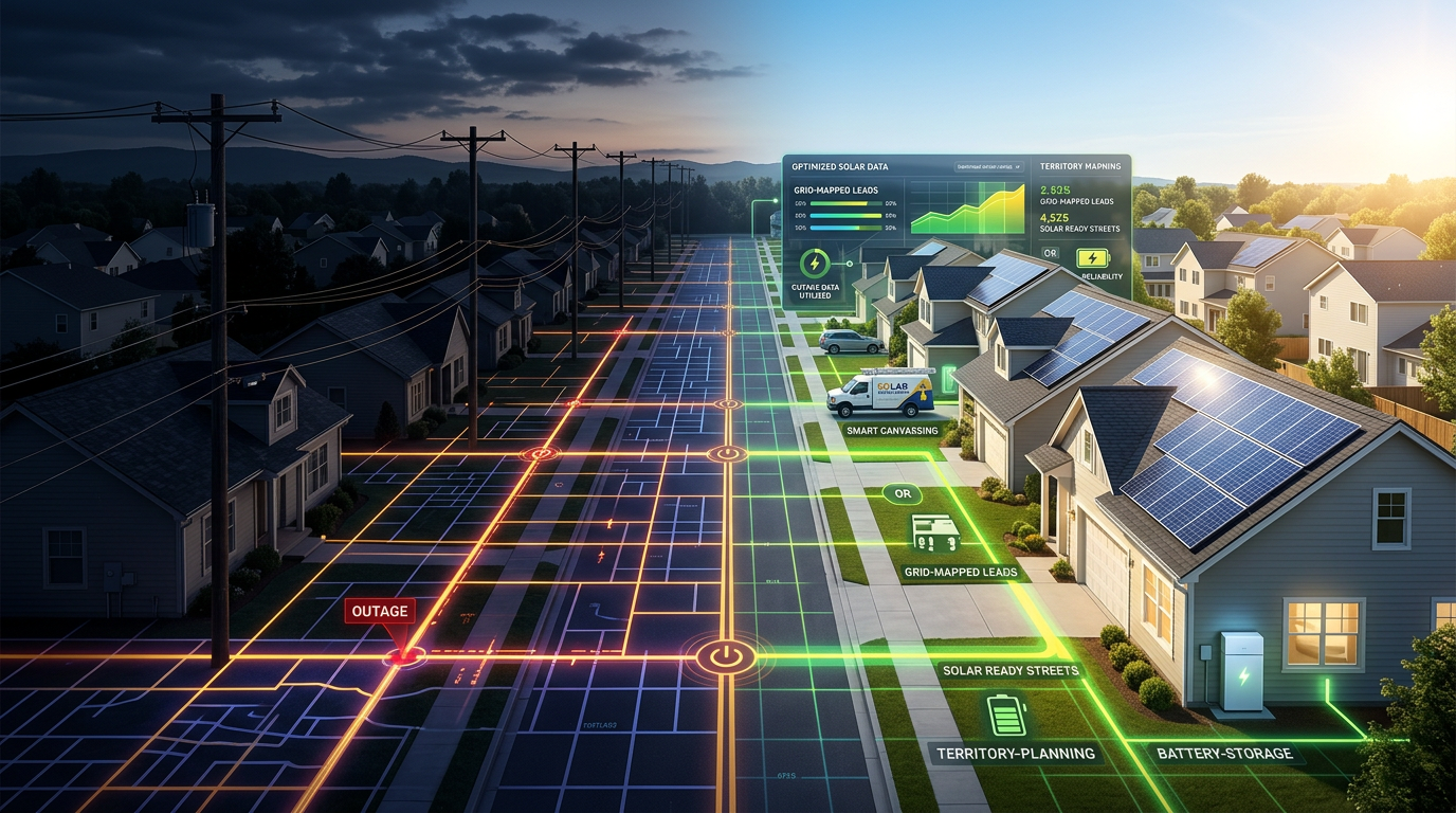
For an installer, the useful version of that search is the inverse: which streets near a reported outage actually lost power, so a canvasser knocks the doors with a reason behind them instead of the whole block. GridProfile resolves every utility-reported outage with a known service area down to the specific streets that went dark, with house-number ranges on every one.
That turns "power outages near me" from a live status check into a canvassing route.
What does "power outages near me" actually tell you?
A "near me" search shows the live outage footprint around one location, and nothing about history. The utility map draws a polygon over the affected area, gives an estimated restoration time, and erases the whole thing once power is restored. We covered why those maps have no memory in a separate post.
For a homeowner sitting in the dark, that's enough. They just want to know when it's coming back. For an installer, it's the wrong shape of data. By the time you'd knock the door, the polygon is gone and there's no record that the street ever lost power.
The question that matters for canvassing isn't "what's out right now." It's "which streets near here lost power recently, and when." That answer doesn't exist on any public map. We went source by source on where outage history by address actually lives in a separate post.
How do I find which streets near me lost power?
No public source publishes outage history at the street level, so it has to be reconstructed from the raw events. Federal feeds like DOE ODIN and EAGLE-I report by county, averaging fifty to two hundred ZIPs into one line. Utility maps show the live polygon and drop it on restoration.
GridProfile takes every event with a known polygon or service point and intersects it against an index of 164 million U.S. addresses across 38 states, then groups the result by street and ZIP. A test outage in Kirkland, Washington that the utility reported as 18 customers came back as 18 specific addresses on NE 68th Pl. The count matched the utility's number exactly.
That's the resolution that makes a canvassing list possible: not "this ZIP had outages," but "these blocks on these streets lost power, and here are the house numbers."
Why is knowing the street faster than canvassing a whole block?
Because a block has many streets, and in any given outage only a few of them lost power. A ZIP code can hold hundreds of streets. A single outage event might touch a dozen. Canvass the whole area and most of the doors you knock belong to homes that never went dark.
A rep working a list of the streets that actually lost power skips all of that. Every door on the list has a recent outage behind it, which means every knock comes with a reason to be there. You lead with the event:
"I saw your block on NE 68th Pl lost power last Tuesday. Equipment failure, about two hours. Have a minute?"
That line costs nothing to deliver and it lands because it's true and specific. Compare it to walking a random block where you don't know which houses lost power and which didn't. You're back to a cold pitch on most doors. The difference isn't the script. It's whether you're standing in front of the right house.
How much faster is street-level canvassing than random canvassing?
The gain is in the reason-to-knock rate: the share of doors where a recent outage gives you something to lead with. Walk a full block blind and that share is small, because most homes on most blocks didn't lose power in the last event. Walk a list of named affected streets and it's nearly every door.
A rep only knocks so many doors in a Saturday. Spend those knocks on streets that all lost power recently and the same effort covers far more qualified conversations than a blanket sweep of a neighborhood. The streets that lost power twice, the repeat-victim blocks, are the highest-conviction stops of all, because the homeowner is already shopping for backup power before you reach the porch.
Time spent walking past homes that never lost power is the hidden cost of canvassing without the data. Naming the streets removes it.
How do I turn "outages near me" into a canvassing route?
Pull the streets near your territory that lost power, sort them, and walk them in order. The Streets CSV lists every affected street with home-hours impact, a repeat-victim flag, cause history, and ZIP demographics on every row. Sort by total home-hours and the top of the list is Saturday's route. Sort by the repeat flag and you have a phone list.
For direct mail, the Street-Level Outage Report PDF carries house-number ranges per street ("NE 68th Pl, 12320–12340, 8 homes") so a mail house can build a saturation route without geocoding anything. Every address is a clickable map link. At volume, mail houses pull the same addresses through a power outage API instead of by file.
The same list serves all three verticals; you just sort it differently. Solar reps work the dense suburban streets with high rates and frequent short outages. Battery installers want those same blocks. Generator dealers work the exurban streets with long restorations. We mapped which territories fit generators versus batteries on the same data.
"Power outages near me" is the homeowner's search. The streets near them that lost power last week are yours. Grab a free grid profile. Pick a state and up to three counties, and we'll email you the streets in your territory that lost power most recently, with house-number ranges and repeat-event flags on every row.