If you've searched for "power outages by ZIP code" and ended up on a utility outage map showing what's out right now, you already know the problem. Real-time maps tell you which substations are down at this exact minute. They don't tell you what happened last Tuesday, last quarter, or all of last year. And the federal data that does cover history mostly stops at the county.
If you run a solar, battery, or generator sales team trying to plan a territory, that's the wrong shape of data.
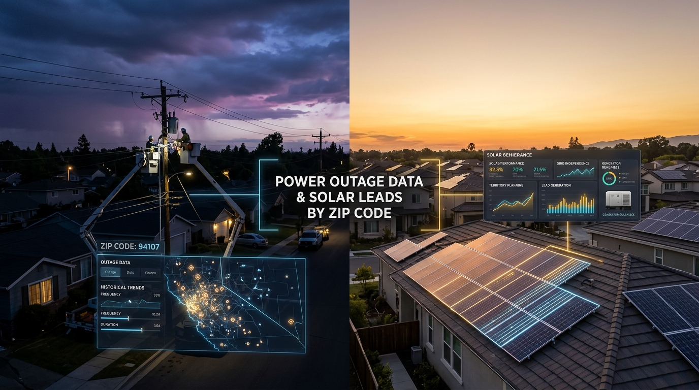
Where can you find power outages by ZIP code?
There are three places people end up when they search for power outages by ZIP, and each one has a different gap.
The first is utility outage maps, which show live status for the customers of one provider. The second is federal outage data from the Department of Energy, which covers history but reports at the county level. The third is news coverage of specific events, which is hit-or-miss and never granular.
None of those answer the question an installer actually has, which is what has happened in this ZIP over the last few weeks or months, and how often.
Do utility outage maps show outages by ZIP code?
Utility outage maps show outages by service area, not by ZIP code, and they only show what's out at this moment.
A live outage map is built for the customer who just lost power. It shows colored shapes over the utility's service territory. Click one and you see something like "1,200 customers affected, estimated restoration 9:30 PM." When the lights come back on, the shape disappears. The map has no memory.
That's not a knock on the utilities. The maps work for what they're built for. But for a solar or generator installer trying to figure out which neighborhoods to canvass, a snapshot of the current minute is the wrong frame. You need history, not status.
A few utilities publish more, but the data is fragmented across hundreds of providers, formatted differently in every state, and rarely tagged at the ZIP level even when it does exist.
What about government power outage data?
The Department of Energy collects outage data from every utility in the country, but the public version is mostly reported at the county.
The two main feeds are EAGLE-I, a historical archive run by Oak Ridge National Lab, and ODIN, the newer real-time system. Both publish event-level records with start times, customer counts, and cause descriptions when the utility provides one. Both stop at the county.
Counties are the wrong unit for door-to-door work. A typical urban county covers 50 to 200 ZIP codes. The county number averages all of them into a single line in a spreadsheet. That's fine for regulators and useful for state-level reporting. It's almost useless if you're trying to decide which side of town your team should hit on Saturday. We covered the county vs. ZIP gap in more detail in a separate post.
What does ZIP-level outage data actually show you?
ZIP-level outage data shows the count and pattern of outages inside individual neighborhoods, not just the county that contains them.
The kind of detail that becomes possible at the ZIP level:
- How many outages a specific ZIP has had in the last 7, 30, or 90 days.
- The largest single event in that ZIP, including how many customers it affected and how long it lasted.
- Which causes show up most often: vegetation, equipment failure, animal contact, weather, or simply "unknown." We dug into why so many outages have no cause listed in a separate post.
- Which ZIPs in the same county have been quiet, and which ones keep showing up week after week.
That's the data installers need to pick canvassing routes, time pitches to recent events, and route inbound leads.
How do solar and generator installers pull this data?
Most installers don't pull ZIP-level outage data themselves. The DIY version means stitching together feeds from dozens of utilities, the DOE archives, and demographic data, then maintaining the pipeline as utilities change formats. It's months of work to assemble and ongoing work to keep current.
Most installers we work with had spent time trying. The honest answer is that solo installers and small shops can't justify the build. Even large national installers usually buy or partner for it.
We built GridProfile for the installers who don't want to spend a quarter assembling data they need this week. Pick a state and up to three counties and we email you back a free profile with the ZIP-level outage history for your territory. Solar reps use it for territory planning. Generator dealers and battery installers use it for demand mapping.
If you want to take it one resolution finer, we now resolve outages down to the specific streets that lost power, with house-number ranges and repeat-victim flags. It's the closest answer there is to "find outages by street." And if the question behind your search was a single specific address, we reviewed every source for outage history by address separately.
If "power outages by ZIP" was the search that brought you here, that's the right question. The answer just isn't on a public map.